
Ask Arbury: From Field Names and North Arbury to the Snowcat and Mr Dean's Shop...

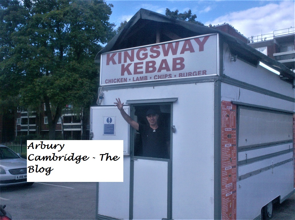
A greeting from the gent at the Kingsway Kebab van during Andy and Deb's Arbury tour recently.

Lots of comments and enquiries here. All requiring personal replies have been dealt with, so here is our round-up of some of the questions you've asked the Arbury Archivists this week...

Hello! I like your blog. Did the original King's Hedges have field names like the Arbury Manor Farm?

Yes, it did! although there were only fifty eight acres, there were names. To find the original King's Hedges on the map, just look north of the railway track/guided busway. We've updated our trusty old map and inserted the names. Nothing to do with the subject, but as an aside, the other side of the Mere Way Roman road was Impington Park and Impington Hall - which was mentioned in Samuel Pepys' diary.

And next...

As an old Arbury geezer I say incredible work. You all deserve medals, not many would bother. Do you have anymore info on the old Snowcat? I was always in there for years.

Thank you - it's a real labour of love! James kindly sent us scanned pages from a 1965 book, featuring a plan of the original building. We'll upload it soon.

A comment from anonymous:

I understand about the inappropriate Kings Hedges ward and North Arbury but you do have an awful lot of stuff about North Arbury on your blog.

We do. Writing about Arbury without North Arbury is a bit like writing a history of Chesterton without the village!

Our 'places named Arbury' map - featuring all the things we can ever recall being called 'Arbury' in the district. Note the cluster north of Arbury Road - including the original iron age site!

Paul writes:

I think I remember Mr Dean's shop in Carlton Way but my Mum says it's not possible as I wasn't born until 1986. Do you know when he left?

Hi, Paul! He was certainly still there in 1992. Andy used to get the coal for his fire there when he lived in Perse Way, so it's possible you do remember him.

Comments

Popular posts from this blog

What Did The Romans Ever Do for Arbury? Jim Smith

Our trusty old Arbury map showing location details before the Manor Farm was established. The red line, inserted by Jim Smith, indicates the course of the Roman road - Akeman Street or the Mere Way. The land north of Arbury Road was the Arbury or Harborough Meadows, Arbury/Harborough furlongs and Arbury Camp, King's Hedges was in its original position, north of the railway (now guided busway) and Arbury Road ran from the Ely/Milton Road to the Histon/Cambridge Road - as it did until the late 1970s. Introduction - by the Arbury Archivists Jim Smith is a local history researcher and a good friend of the Arbury Cambridge Blog. He has been researching Roman finds in the historic Arbury area and has written this article for us. We are most grateful! He follows the adventures of those who scraped away centuries of soil to reveal ancient findings beneath.  Of course, as always, we deal with historic Arbury here, not council planners' estates or electoral wards, which are both prone to

Main Streets of Arbury: Campkin Road - Part 1

Left: work begins on Campkin Road in 1961. Numbers 1 and 2 Manor Farm Cottages have been demolished, but the intention is to preserve the old trees lining the old Manor Farm Drive. Right: a similar view in more modern times, with the Arbury Town Park and Campkin Road. In 1982, Campkin Road was described as the 'Hauptstrasse of North Arbury' by local journalist Sara Payne. Ms Payne's   Down Your Street  local history articles in the   Cambridge Weekly News   were hugely popular and, for each one, Ms Payne visited a street in Cambridge and talked to the residents, collecting their memories for publication and producing a fascinating series of 'Then and Now' style articles. Down Your Street  followed in the footsteps of a similar series in the local press in the early 1960s - by Erica Dimmock - and both now make fascinating reading. We're starting our look at Campkin Road with material from the 'Arbury 1980' project and accounts from locals contributed to t

Exploring The REAL King's Hedges...

The Cambridge and St Ives Branch railway line is now the Guided Busway. Where was King's Hedges historically? How did the name come about? Why is the majority of King's Hedges Road no more historic than late 1970s - and nothing to do with the course of the original road? What have council planners of the 1960s and 1970s and the needs of motorists got to do with the King's Hedges presence in the historic Arbury district? All will be revealed... We're going to leave Arbury briefly and go to King's Hedges. No, not King's Hedges Ward - that area is, in reality, one of the most Arbury of Arbury areas in Cambridge historically, but the REAL King's Hedges. North of the Guided Busway. You see, the land north of Arbury Road is the site of the Arbury Camp, the Arbury/Harborough (a variation on the Arbury name) Meadows and the Arbury fields of Manor Farm.  It has absolutely nothing to do with King's Hedges at all. And King's Hedges was never a district. Land no